Aerial Map-Bill McAllister Park-Lubbock
An aerial orthomosaic map and digital surface model of Bill McAllister Park in Lubbock. The 33.53 acre map is comprised of 175 images taken at an altitude of 350ft. The resulting Ground Sampling Distance is 1.25 inch per pixel. An elevation range of 2924.8 to 3016.6 feet is observed. Default center Latitude is 33.5413939 and default center Longitude is -101.9548920
You may also like
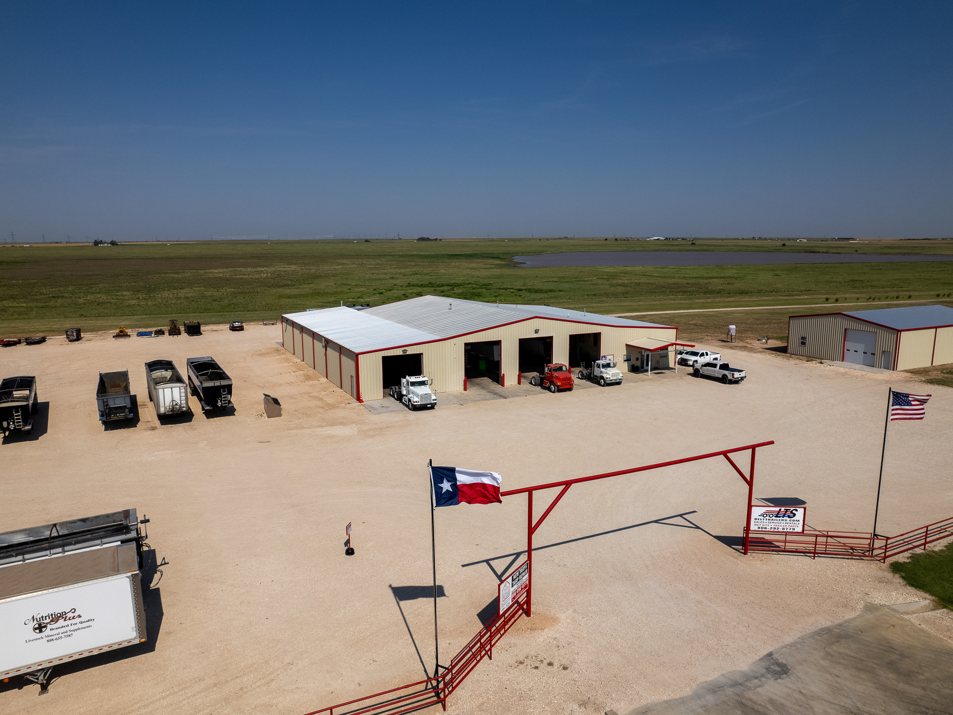
Commercial Aerial Marketing for LTS Ventures
2023
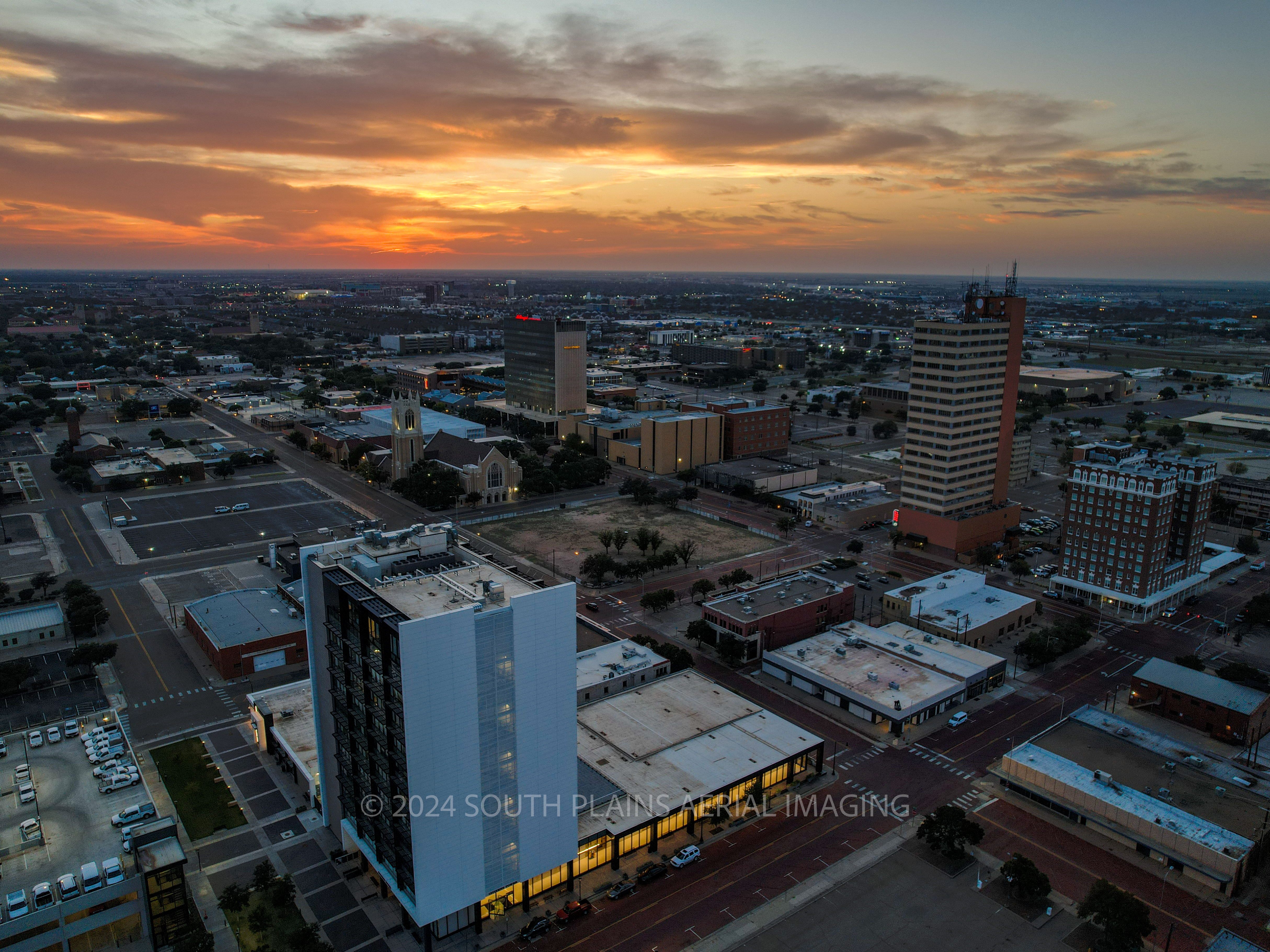
Downtown Lubbock at Sunset
2024
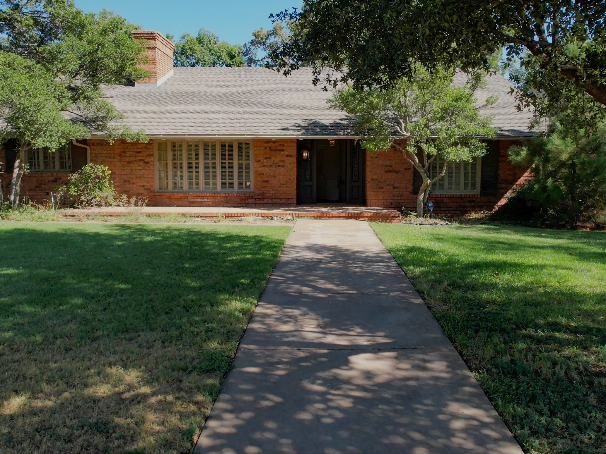
Cinematic Home Tour 4606 21st Street Lubbock
2023
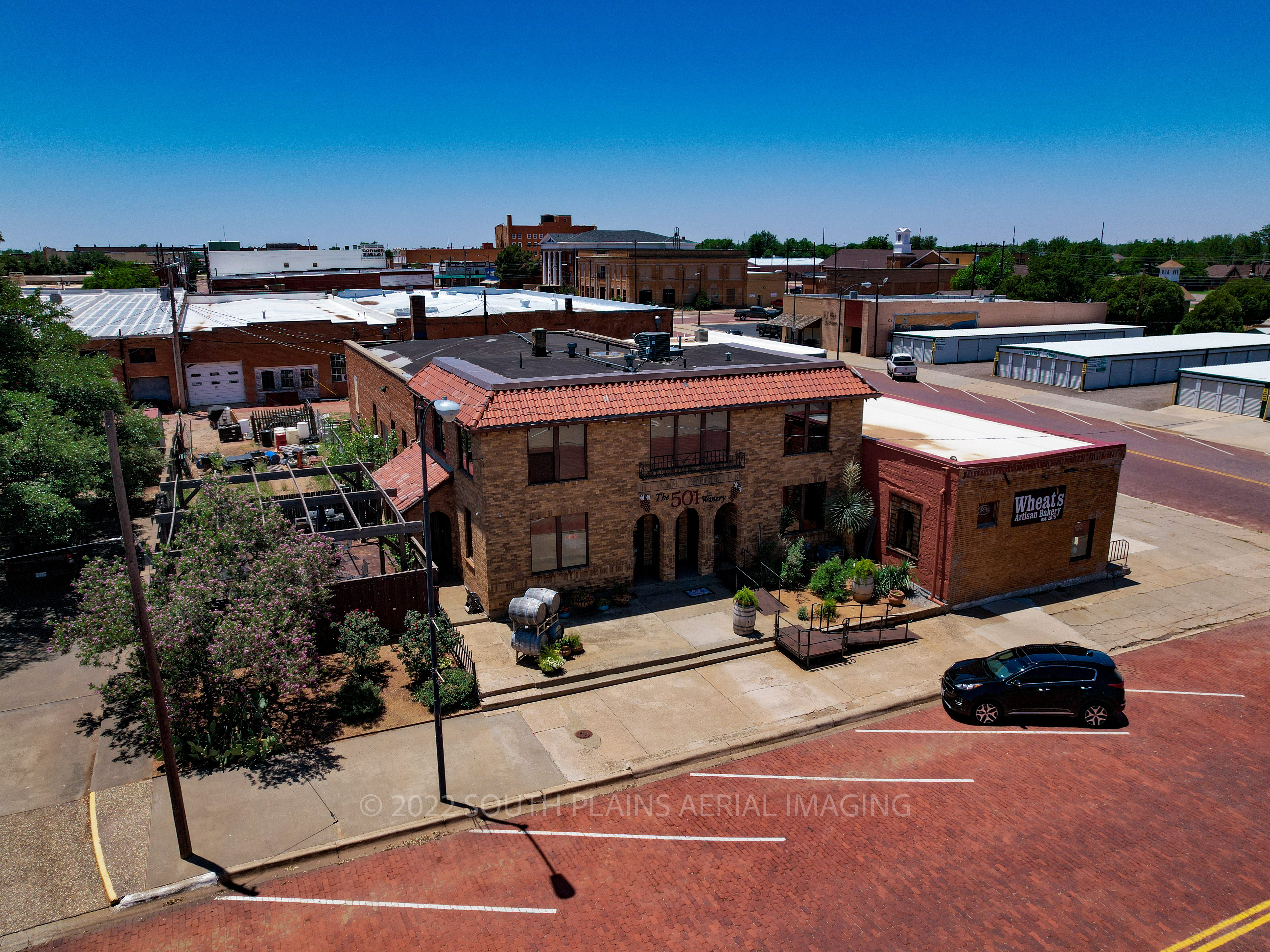
501 Winery Childress, Texas
2022
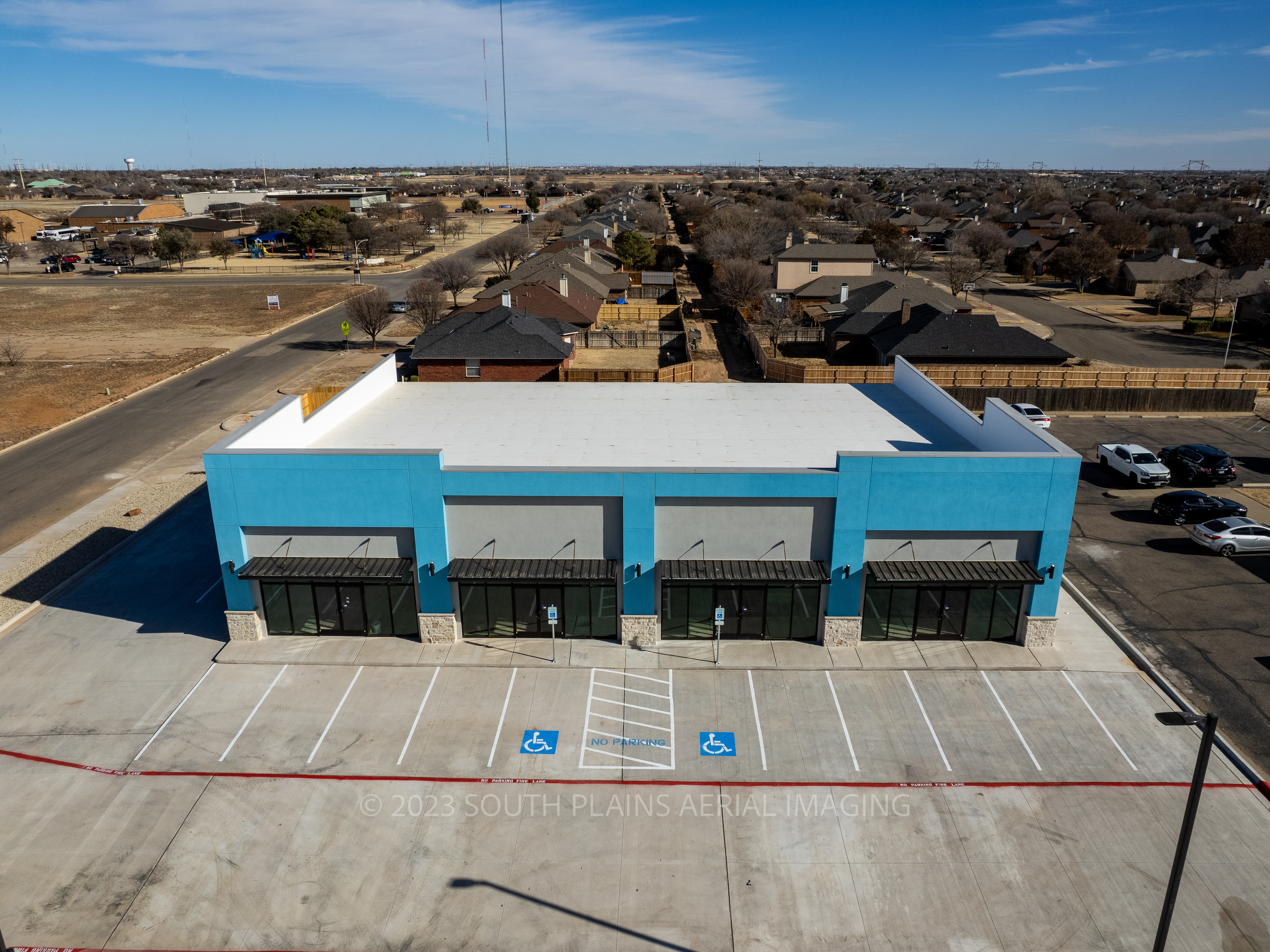
Commercial Real Estate Aerial Photography Suite Example
2023
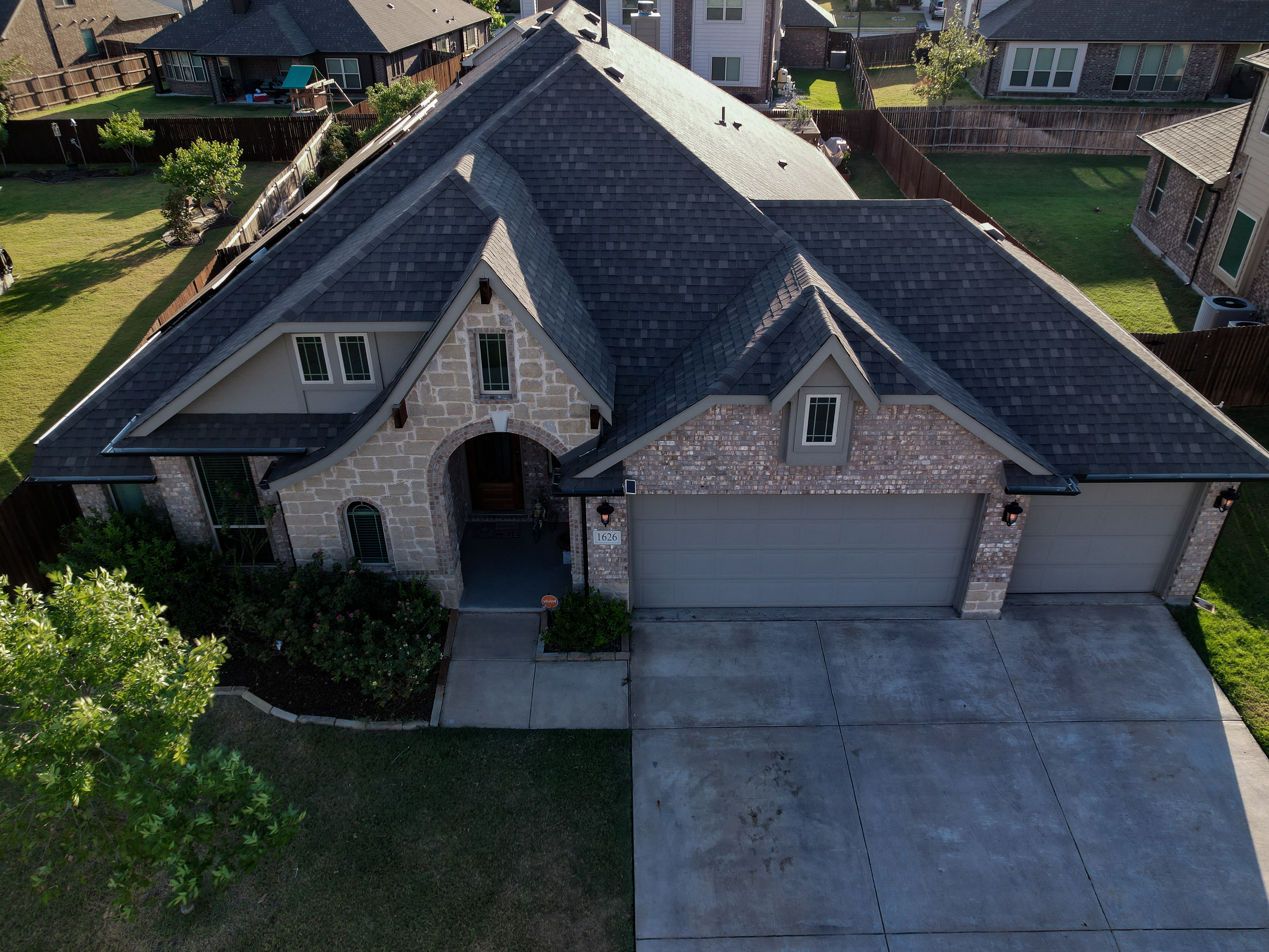
Aerial Photography 1626 Cherry Hill Drive Anna, TX
2022
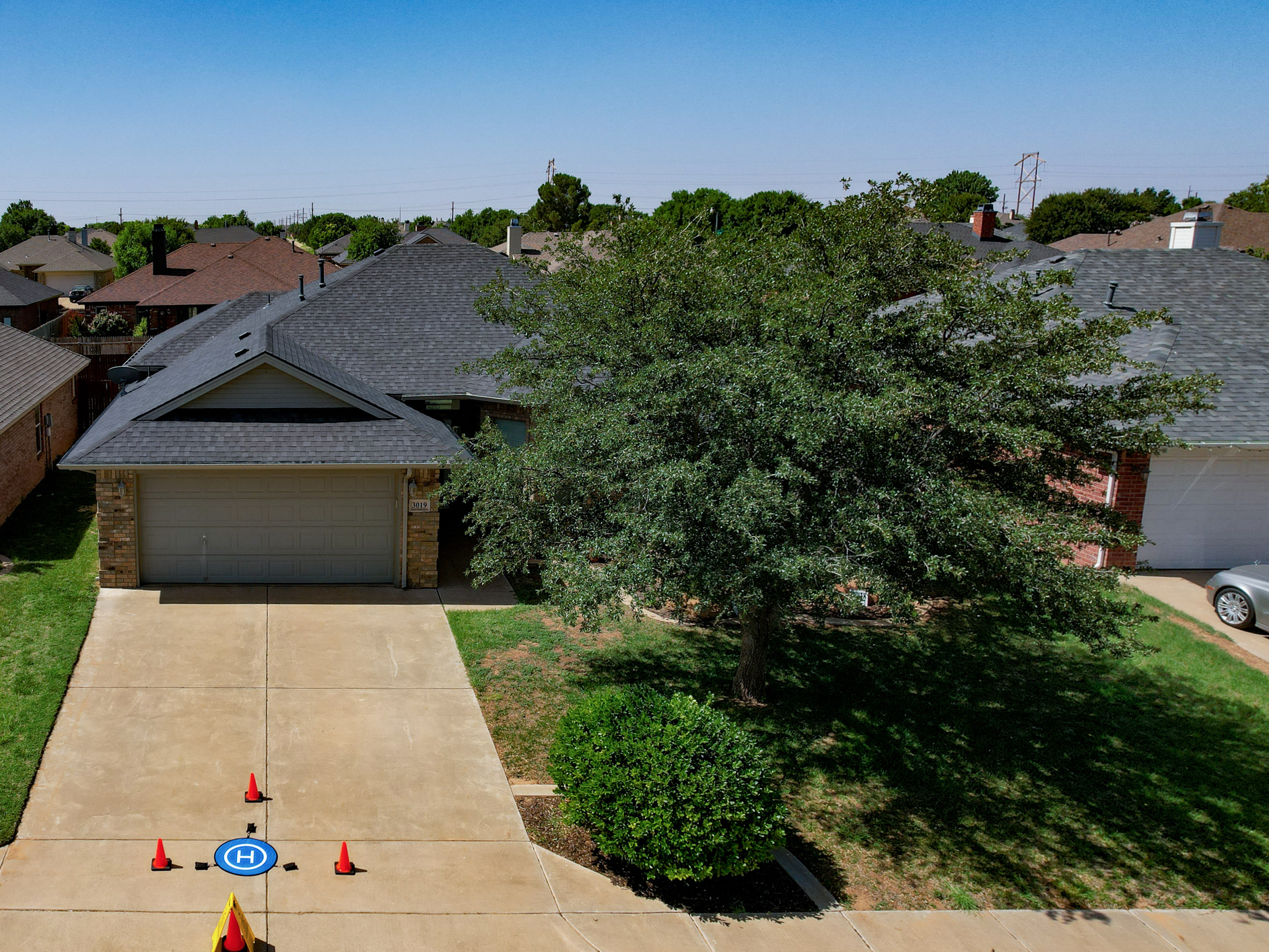
Residential Roof Inspection Example
2024
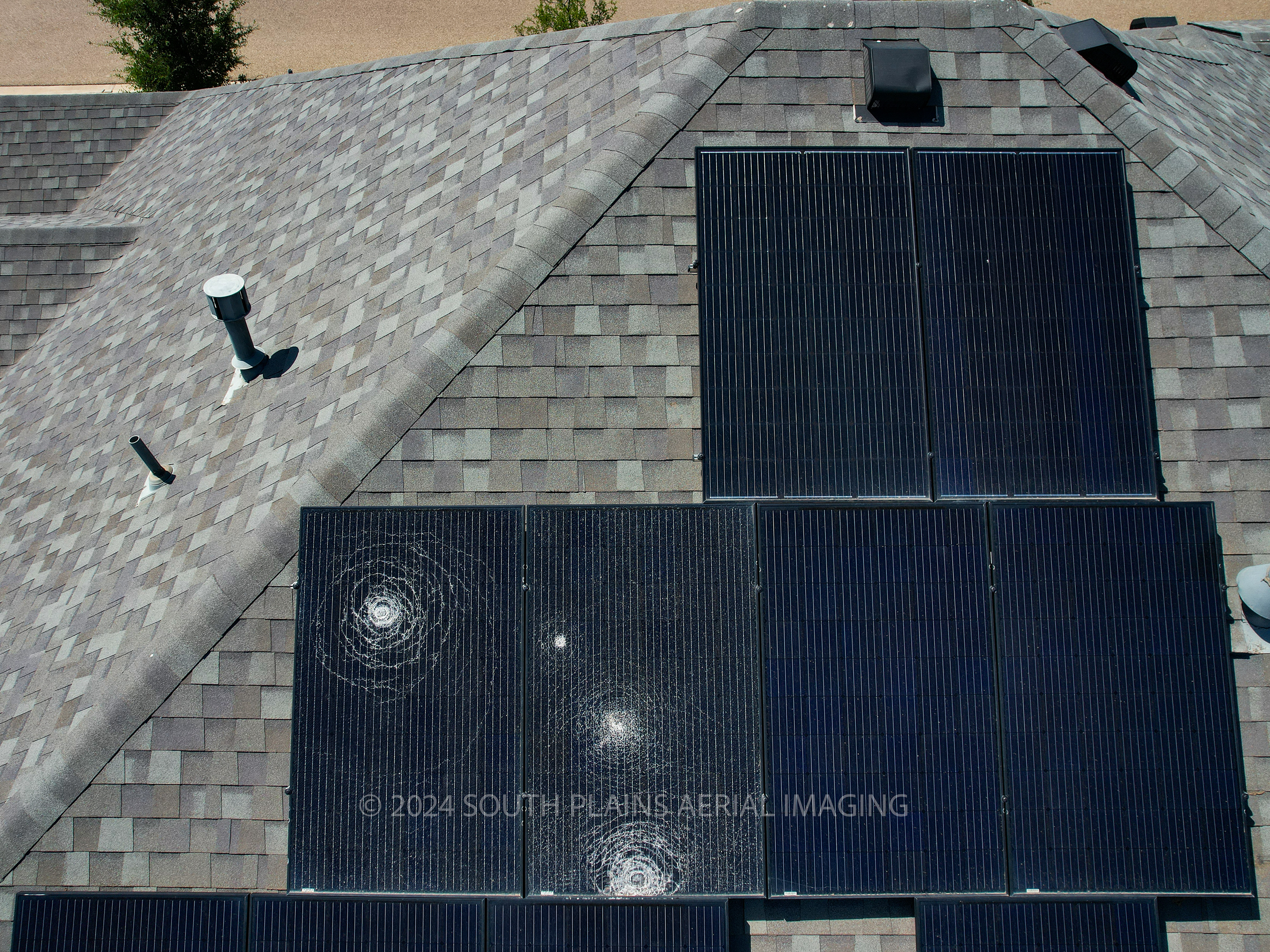
Aerial Roof Damage Inspection
2024
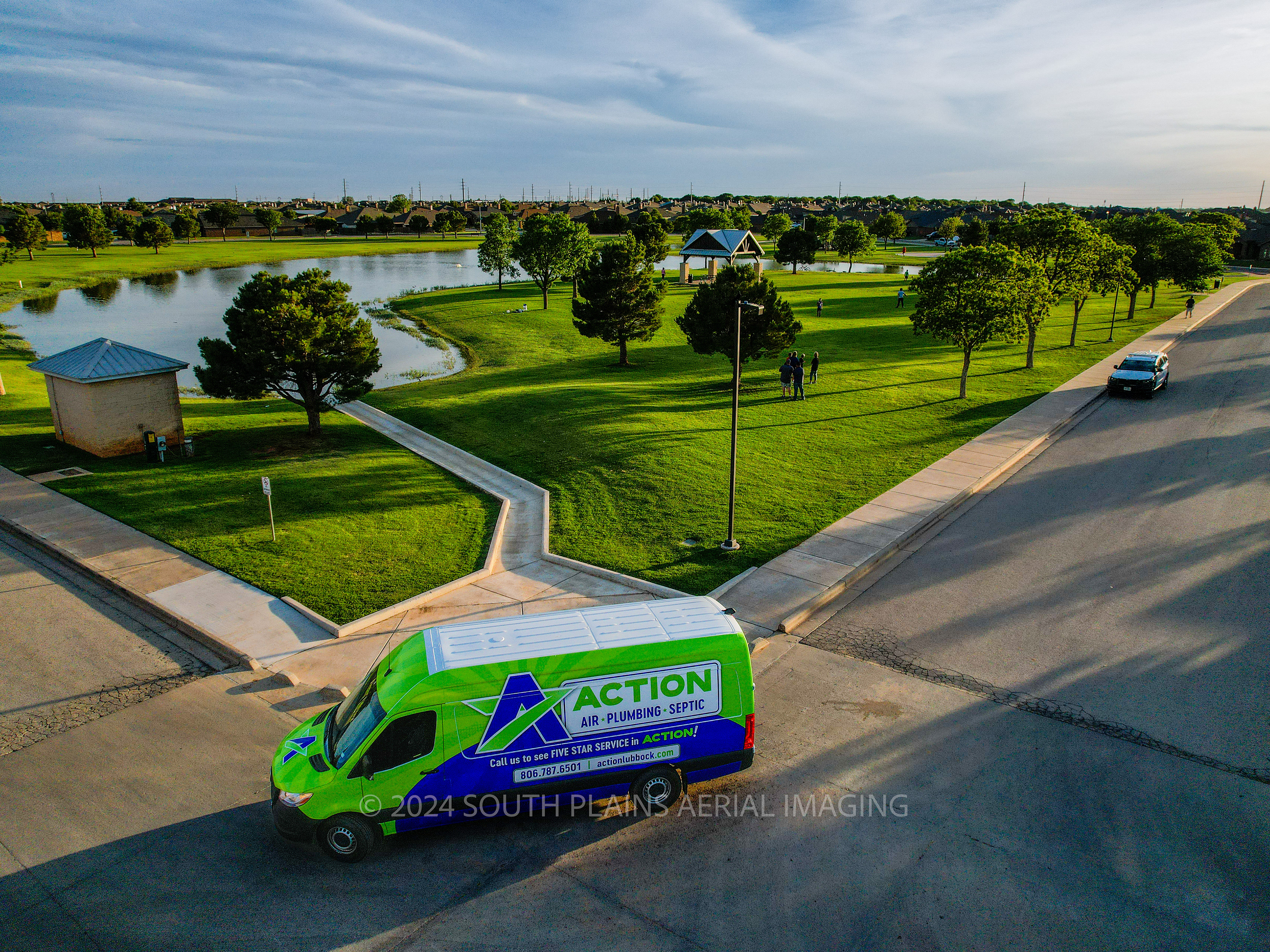
Action Air Plumbing and Septic Aerial Photography Suite
2024
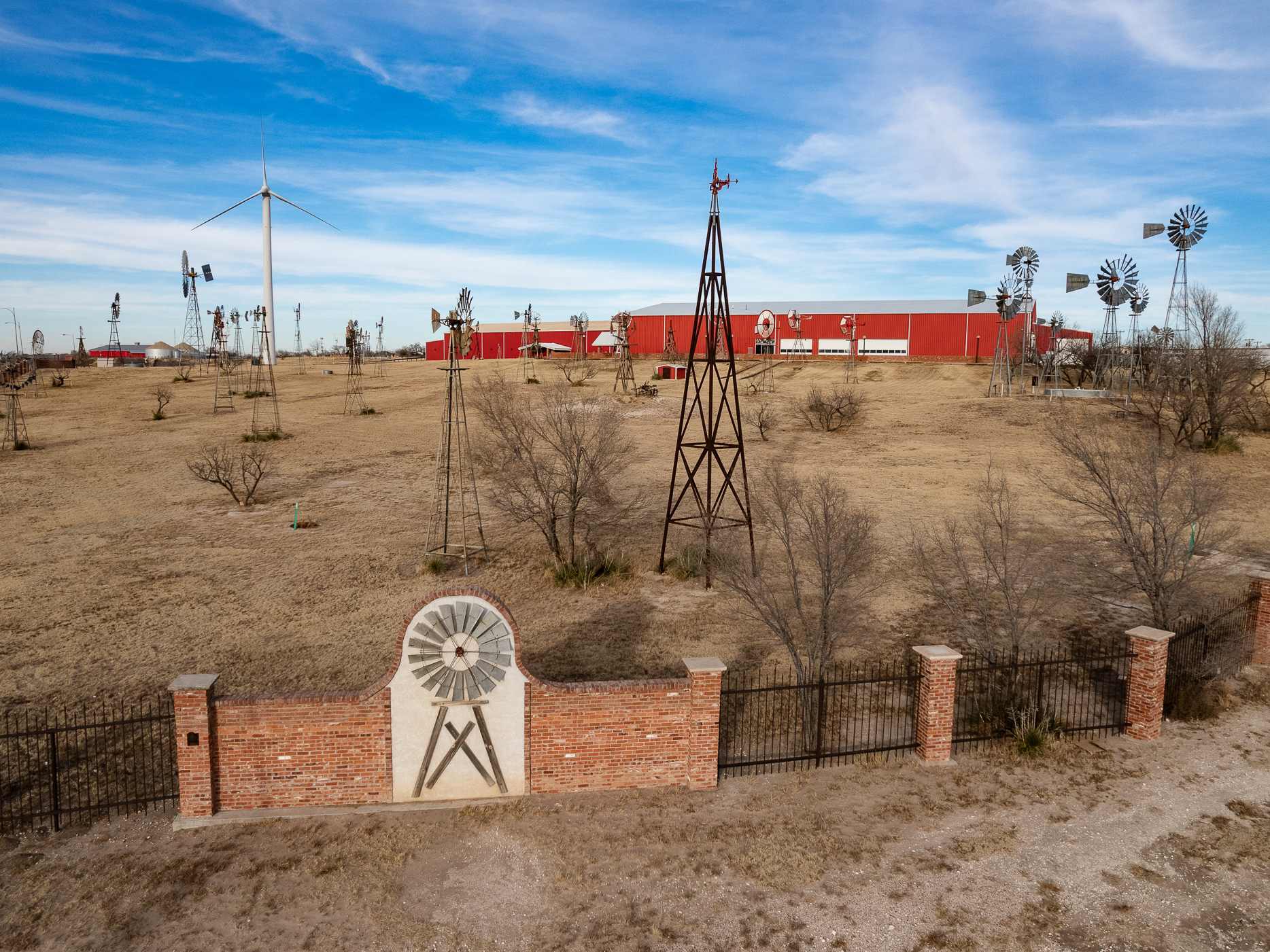
American Windmill Museum Promotional Video
2022
