All Saints Tennis Construction Site
An aerial orthomosaic map and digital surface model of the All Saints Tennis Construction Site in Lubbock. The 8.20 acre map is comprised of 374 images taken at an altitude of 100ft. The resulting Ground Sampling Distance is 0.49 inch per pixel. An elevation range of 3159.0 to 3178.5 feet is observed. Default center Latitude is 33.5017840 and default center Longitude is -101.8812720
You may also like
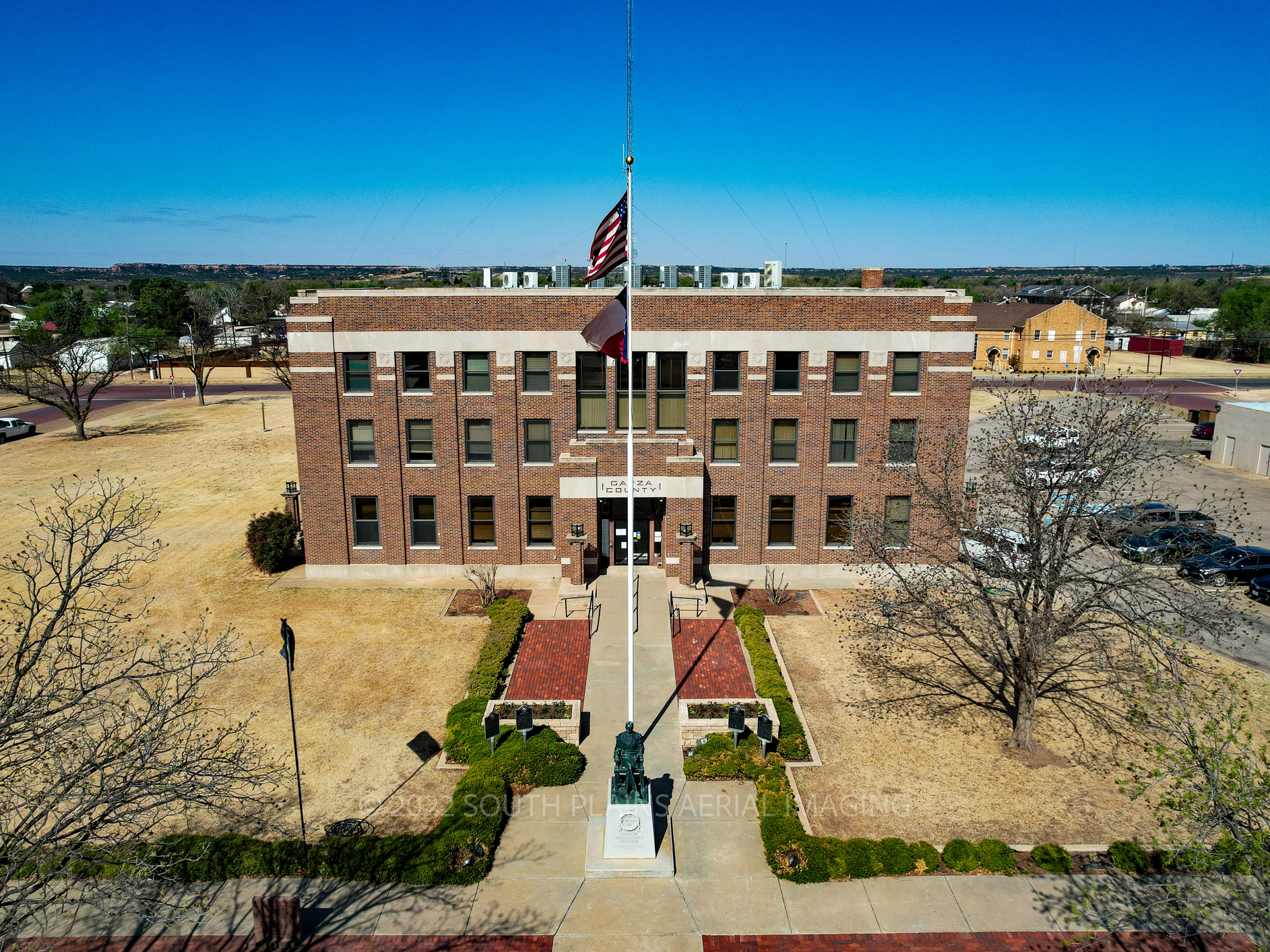
Courthouses : Post, Texas - Garza County
2022

Woodrow House Bed & Breakfast Lubbock - Cinematic Tour
2025
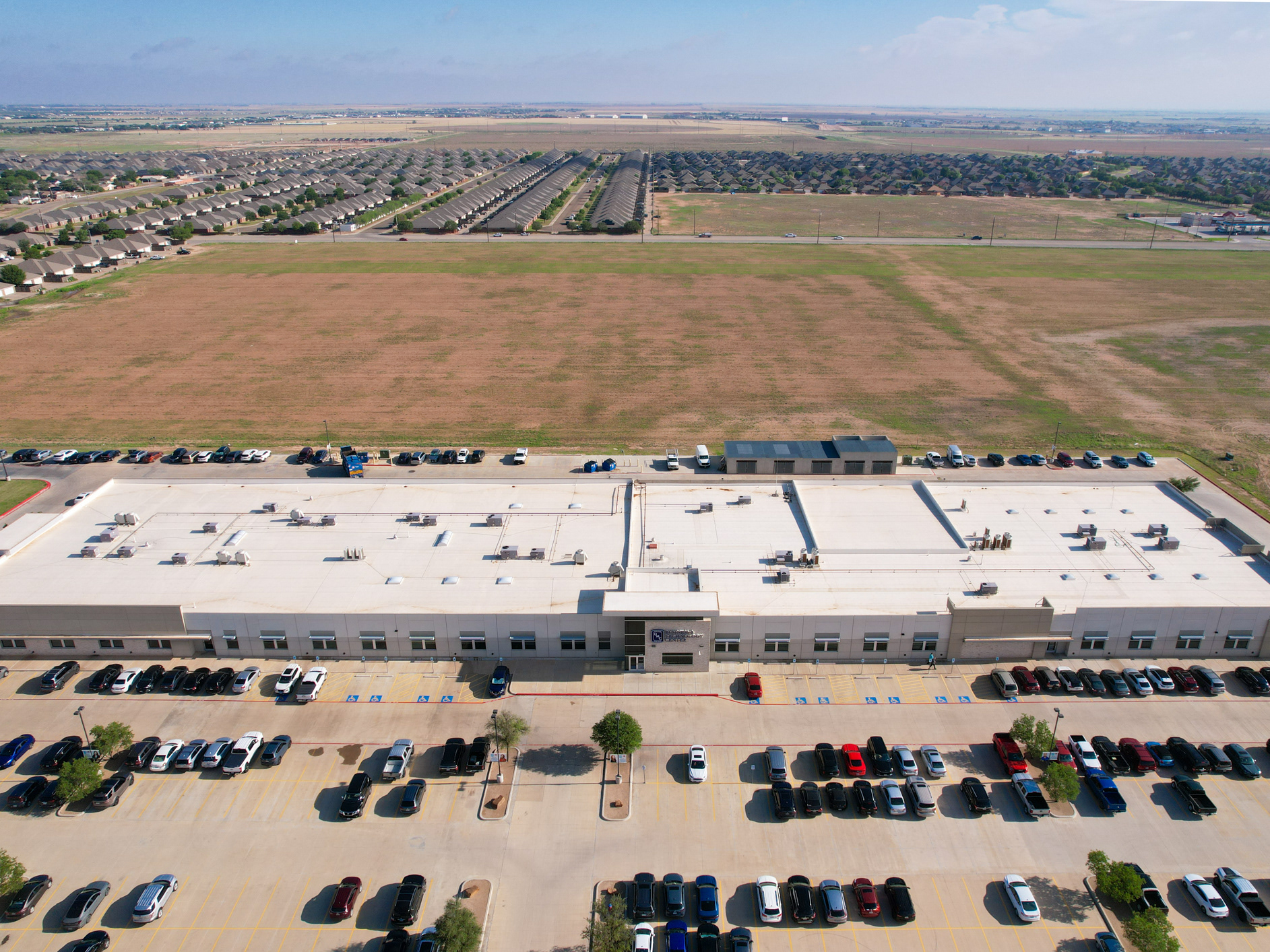
Commercial Roof Inspection Example
2024
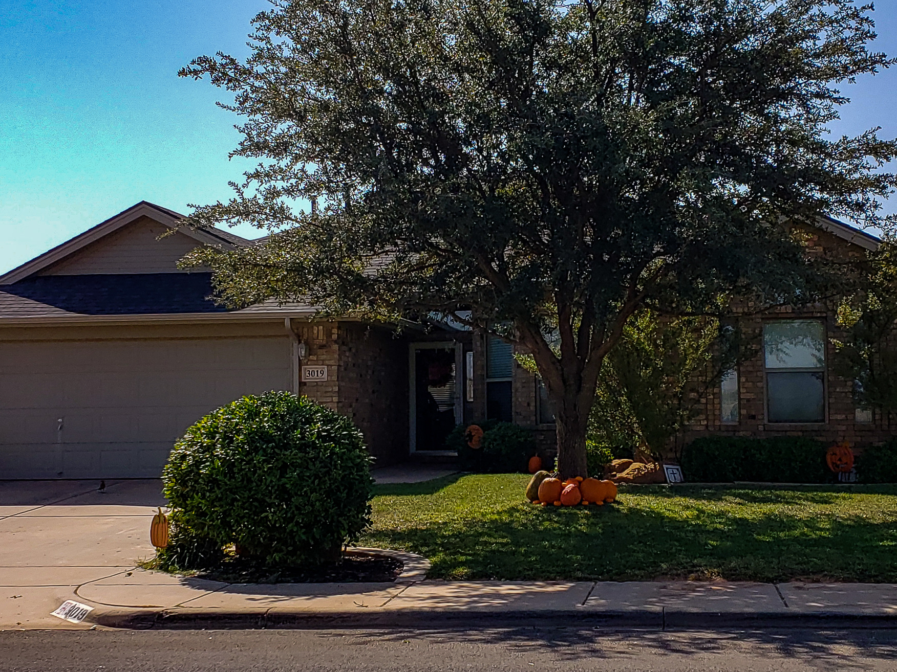
SPAI - Cinematic Home Tour Service
2021
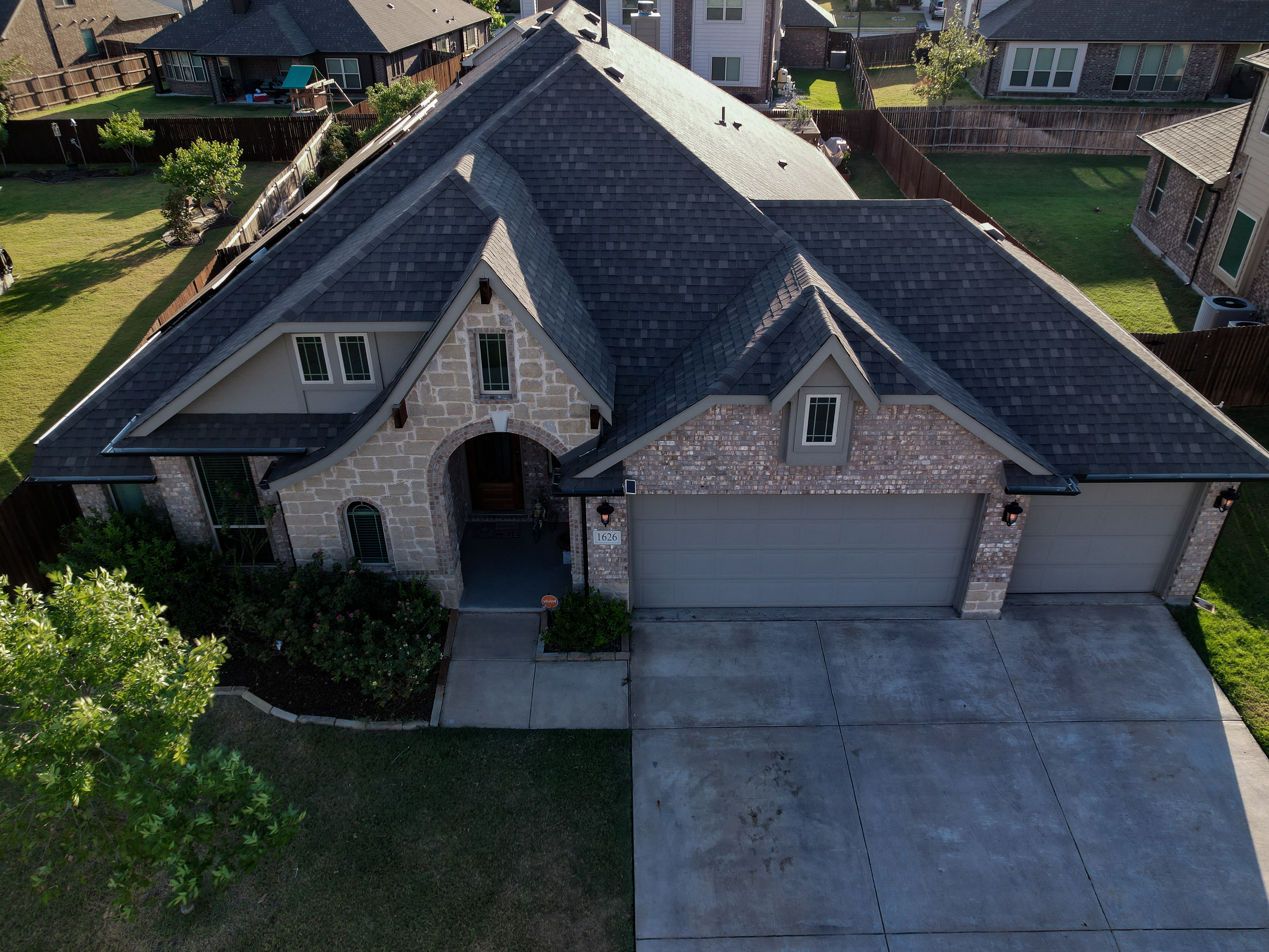
Aerial Photography 1626 Cherry Hill Drive Anna, TX
2022
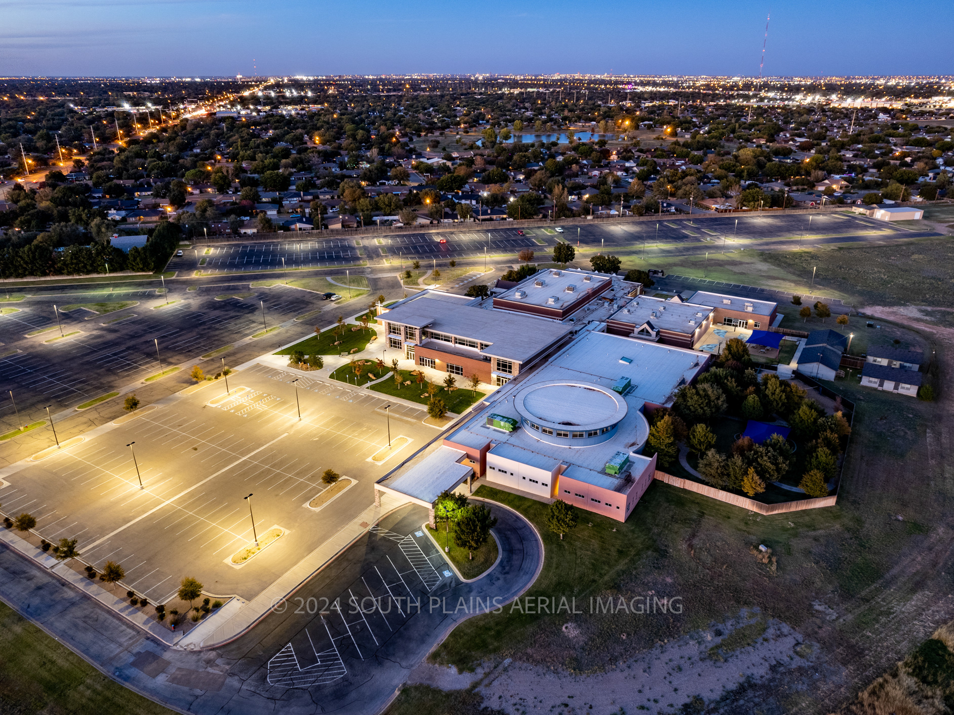
Aerial Photography Indiana Avenue Baptist Church
2024
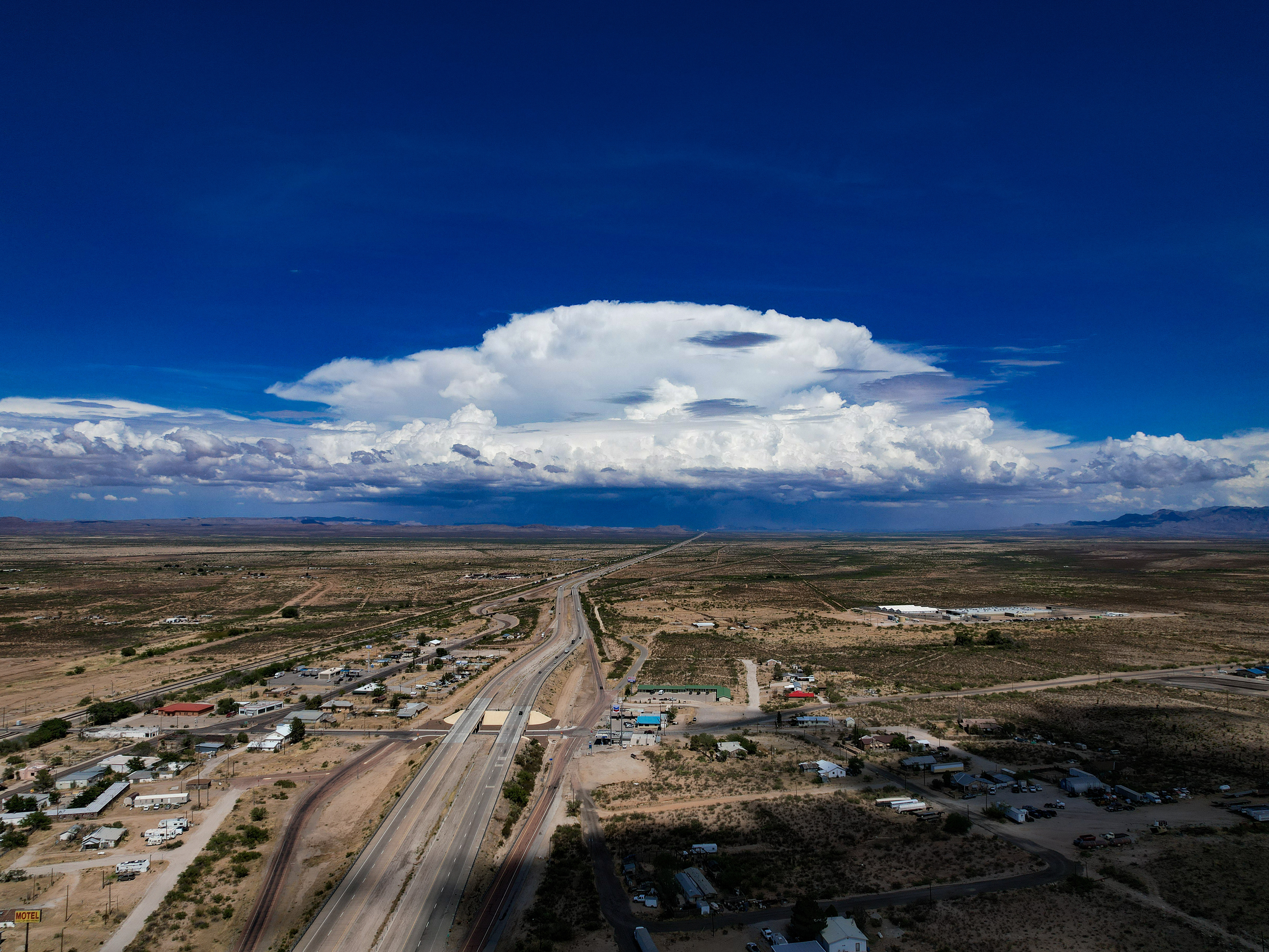
Courthouses: Sierra Blanca, Texas - Hudspeth County
2022
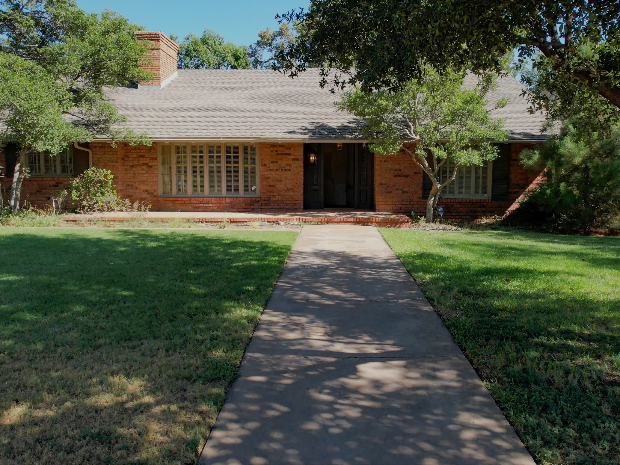
Cinematic Home Tour 4606 21st Street Lubbock
2023
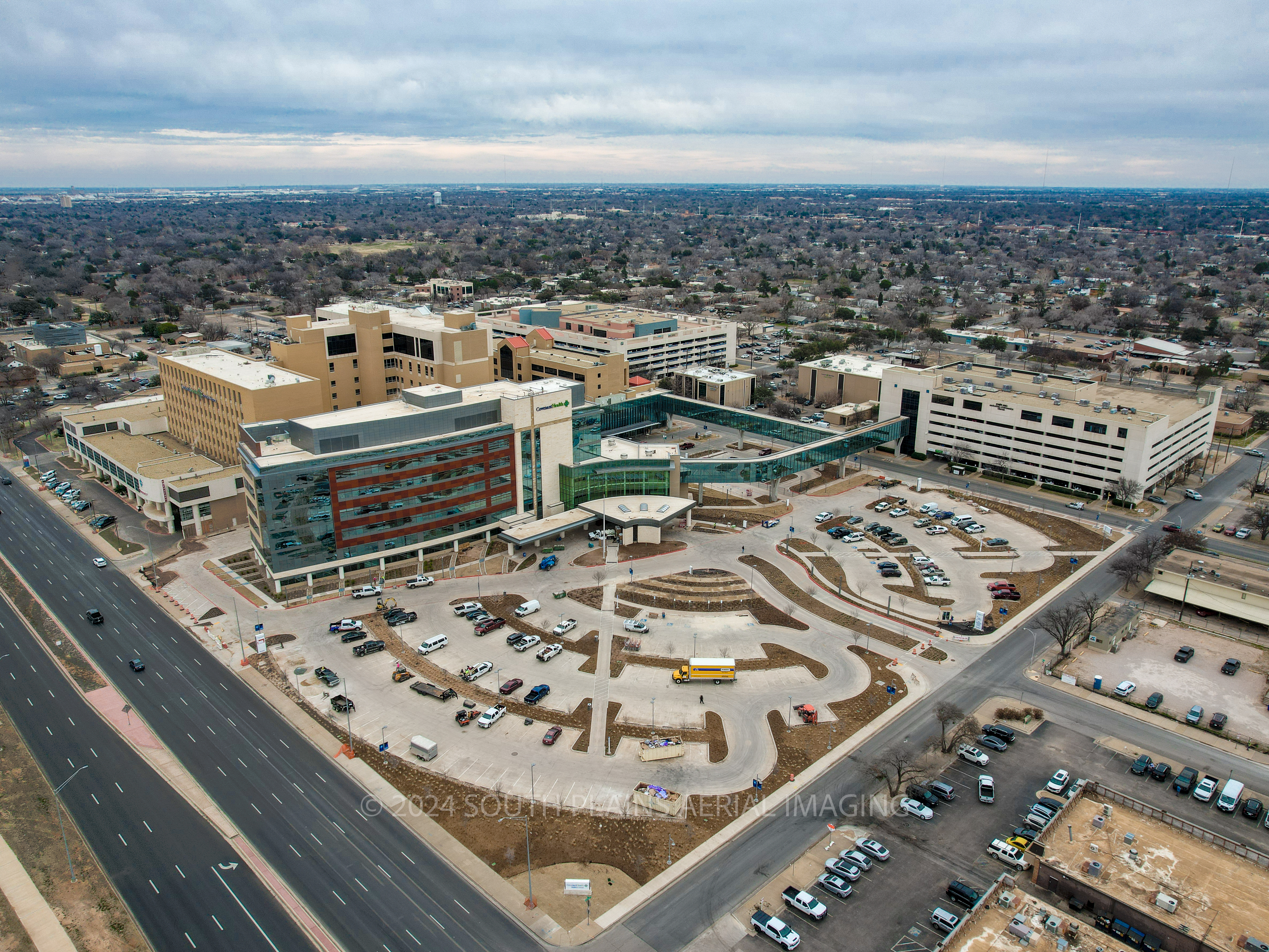
Hope Tower - Covenant Medical System
2024
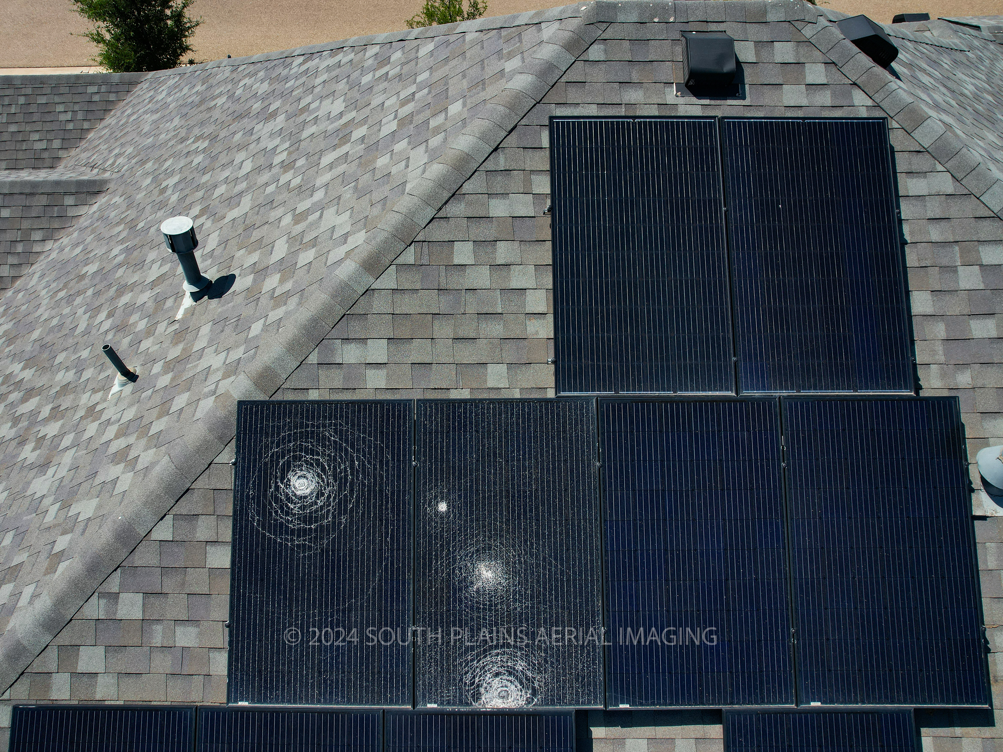
Aerial Roof Damage Inspection
2024
